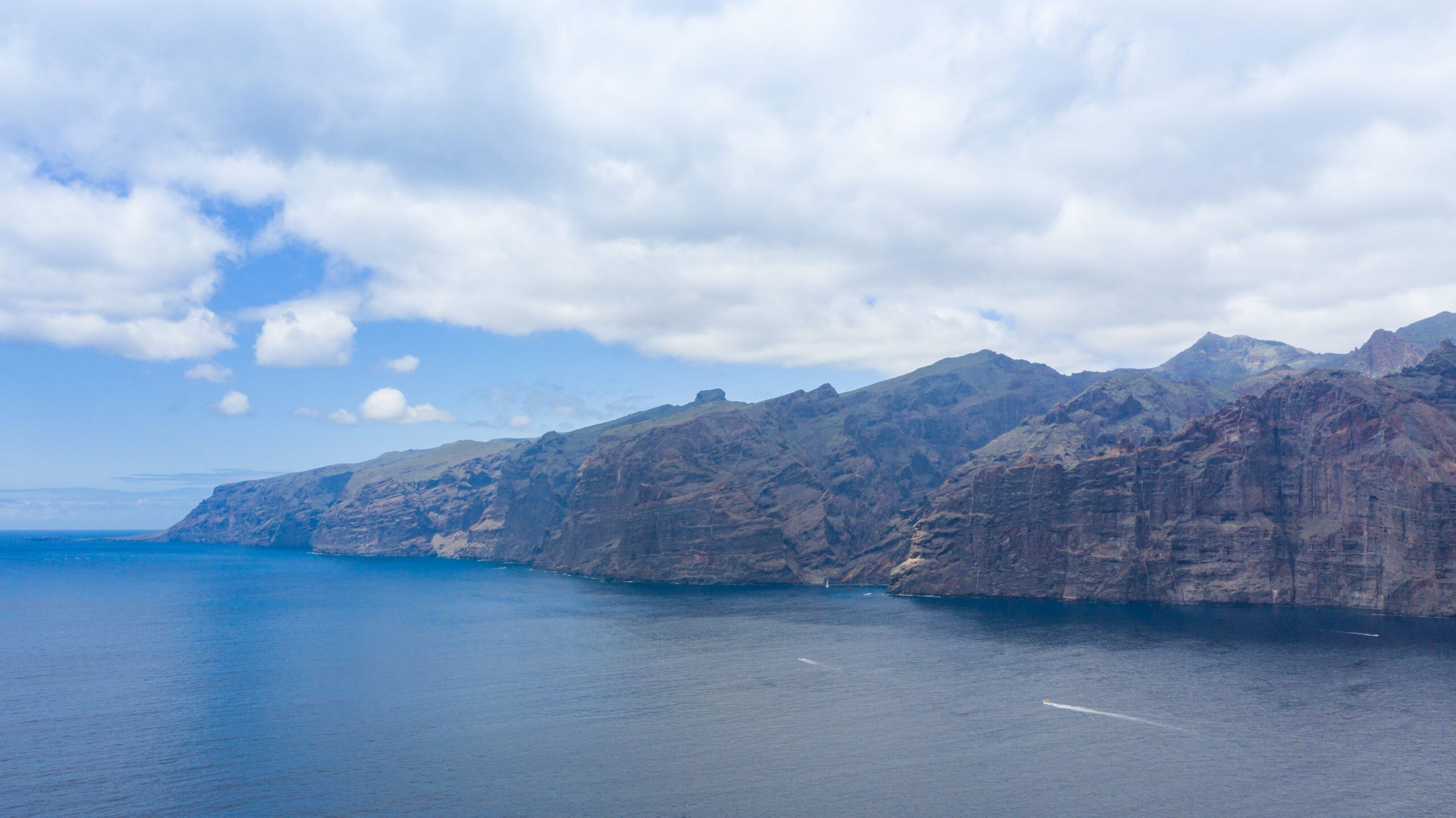
First, a confession most weather pages skip: Los Gigantes has no official weather station. Many sites quietly serve figures for the municipality of Santiago del Teide (whose main town sits at 935 metres and is genuinely cool and damp in winter), which is how the internet ends up claiming January highs of 13 °C for a coast where you will be eating lunch outside in a T-shirt. The figures below use the nearest comparable leeward-coast station, Tenerife South airport (AEMET climate normals), plus cross-checked sea temperatures, and they match what guests actually experience here, as of July 2026.
Why this corner stays sunny
Tenerife’s weather is a tale of two coasts. The trade winds arrive from the north-east loaded with Atlantic moisture, pile their cloud against the island’s northern slopes, and leave the south and west in the sunshine behind the mountains. Los Gigantes sits in the lee of both Teide and the Teno massif — sheltered from the prevailing wind, on the coast that gets the sun while the north gets the “sea of clouds”. Calling it the island’s best microclimate, as brochures like to, is a superlative nobody can referee (the south coast is comparably sunny), but “one of the sunniest, most sheltered corners of Tenerife” is simply what the geography does. The shelter only works against the north-east wind, though. Winter swells arrive from the west and north-west, and those do reach this coast — more on that below.
The numbers, month by month
| Month | Day / night °C | Sea °C | Rain days | Sun h/day |
|---|---|---|---|---|
| January | 21–22 / 15 | 20 | ~2 | 6–7 |
| February | 22 / 15 | 19–20 | ~2 | 7 |
| March | 23 / 15–16 | 19 | ~2 | 7 |
| April | 23 / 16 | 19–20 | ~1 | 7 |
| May | 24 / 17 | 20–21 | <1 | 8 |
| June | 25 / 19 | 21–22 | ~0 | 8–9 |
| July | 27–28 / 20 | 22–23 | ~0 | 9–10 |
| August | 28–29 / 21 | 23 | <1 | 9–10 |
| September | 28 / 21 | 24 | ~1 | 7 |
| October | 27 / 20 | 23–24 | ~2 | 7 |
| November | 25 / 18 | 22–23 | ~2 | 6 |
| December | 23 / 16–17 | 21 | ~3–4 | 6 |
Air temperatures and rain days are AEMET normals measured at Tenerife South airport, the nearest station on the same dry leeward coast; the coast here runs within a degree or two of them. The whole year delivers roughly 132 mm of rain, about a fifth of London’s annual total, and the sea never drops below about 19 °C, warmest from September to October. There is no month in which you cannot swim, dive or sit on a terrace at lunch.
What the brochure will not tell you
Calima. A few times a year, most often between January and March, the trade winds falter and hot, dusty Saharan air slides across the islands: hazy skies, temperatures up, visibility down. A typical episode lasts three to five days, and summer calimas are what push the thermometer past 30 °C. If you have asthma or another respiratory condition, plan indoor days when one hits — the dust is a documented irritant.
Winter swell. From roughly November to February, Atlantic storms send serious waves at the west and north coasts. In November 2025 three people died in Tenerife when four-metre waves swept exposed shorelines, and the storms that followed brought maximum alerts and seas forecast at five to seven metres. On big-swell days boat trips may be cancelled, natural pools close, beaches fly red flags — and the sea edge is no place for a photograph. Watching the Atlantic hammer the cliffs from a safe terrace, on the other hand, is winter theatre.
Rain, briefly. November and December are the “wet” months at two to four rain days each; an Atlantic front can write off a day or three. It passes, and the terraces refill.
The winter bonuses
Cold snaps up on Teide turn into postcards down here: snow on the summit is visible from the coast, palm trees in the foreground. December 2025 brought the volcano’s heaviest snowfall in around nine years — so popular that the Cabildo ran shuttle buses. If you drive up to touch it, build in flexibility: the access roads and cable car close during and after snowfalls. The other January–February spectacle is gentler: the almond trees around Santiago del Teide village, twenty minutes uphill from the coast, flower from late January to early March, with a signposted 9 km blossom walk from the village church towards Arguayo and an annual festival in February. It is the prettiest low-season reason on the island to be here precisely when flights and stays cost least.
Crowds and prices
The Canaries invert the Mediterranean calendar: winter sun is the classic peak, so December to March runs busy, with premiums at Christmas and New Year, February (school half-terms plus Carnival season) and Easter week. July and August bring the school-holiday crowds, and late October adds a half-term bump. The quiet, good-value windows are after Easter to mid-June and from mid-September to early December — industry sources put shoulder-season accommodation substantially below peak rates, and the weather table above shows how little you sacrifice: a May day here is 24 °C and rain-free.
What each season means for plans
Whale and dolphin trips run all year, because the pilot whales are residents, not migrants — though individual sailings cancel on big-swell days in winter. Hiking is at its best in spring and autumn, warm rather than hot, with the hills greening up after winter rain; note that Masca gorge needs advance booking, runs Friday to Sunday only, and closes at short notice on rain or wind alerts. Swimming and snorkelling peak from August to October, when the sea is calmest and at its 23–24 °C warmest.
Teide is glorious in winter snow, but plan a backup day, since roads and the cable car close in rough weather. And February earns a special mention: almond blossom, Carnival on the island, whale variety at its winter peak, and shoulder-season prices either side of half-term.
There is no bad month here. Winter is spring, summer is dry and moderated by the ocean, and the worst the year throws at this coast is a hazy week of desert dust and a few theatrical days of Atlantic swell. Pick your month by what you plan to do; the sun, as the table above shows, is close to a constant.
Photo: dronepicr, CC BY 2.0 (https://creativecommons.org/licenses/by/2.0), via Wikimedia Commons